
Reality capture
Use drones, photography, 360° imagery, LiDAR and photogrammetry to capture the physical state of the project.
B3 Nexus · Reality & Evidence
Reality capture becomes far more valuable when it is treated as engineering evidence. Nexus connects survey, photos, drones, LiDAR, point clouds, inspections, tests and as-built measurements to the physical elements they verify.
Quick answer
The recurring Nexus comparison is: Designed → Planned → Observed → Inspected → Accepted. That chain creates traceability between engineering intent and physical delivery.
Big Three innovation model
A photograph by itself may show progress; a photograph connected to a location, model element, inspection, date, responsible party and acceptance status becomes stronger project evidence. The same principle applies to survey data, scans, test results and commissioning records.
Nexus Reality & Evidence is intended to build a project record where observations can be compared to approved design, planned sequence and quality requirements, supporting progress validation, defect management, handover and later asset history.
Connected capabilities
Each capability strengthens engineering decisions, construction execution, evidence and lifecycle value across the project lifecycle.
Use drones, photography, 360° imagery, LiDAR and photogrammetry to capture the physical state of the project.
Connect control, as-built measurements and verified surfaces to project records.
Tie inspection and test results to the exact work package, asset or model element.
Compare planned progress with observed site conditions and captured evidence.
Preserve findings, NCRs, corrective actions, retests and acceptance.
Carry verified installed conditions into handover and the operational asset record.
Explore the digital thread
Follow the connection from site understanding through digital engineering, physical execution, verification and the living asset.

Connect site, design, engineering, construction, evidence and operations.
Explore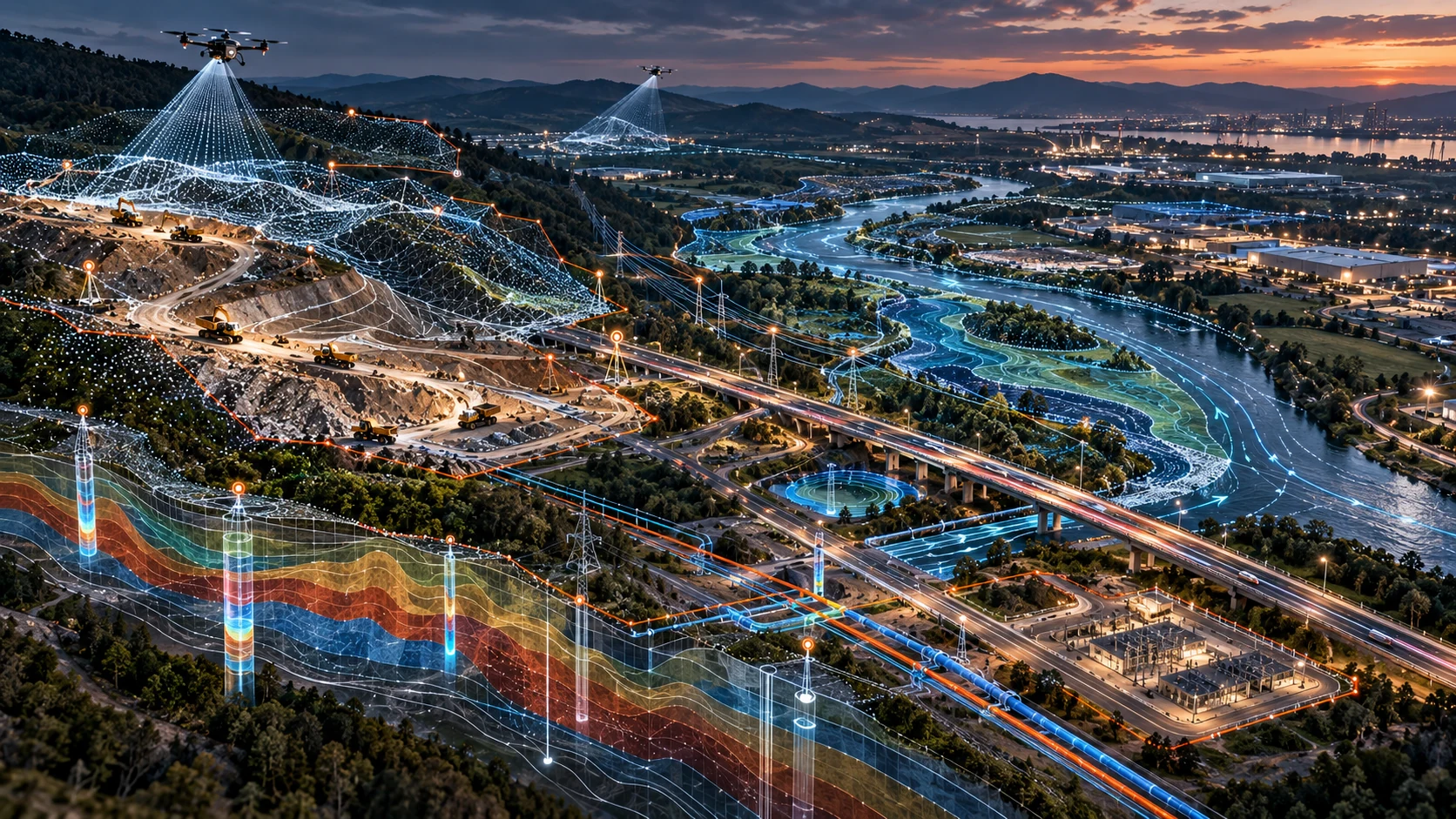
Start decisions from survey, terrain, utilities, hydrology and real-site constraints.
Explore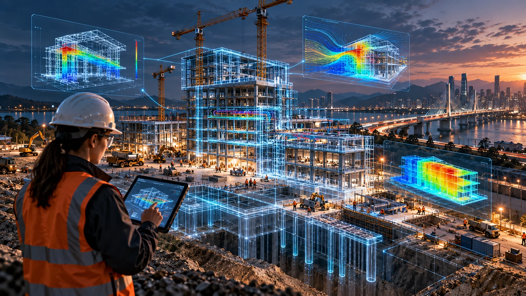
Coordinate multidisciplinary models and test options before construction.
Explore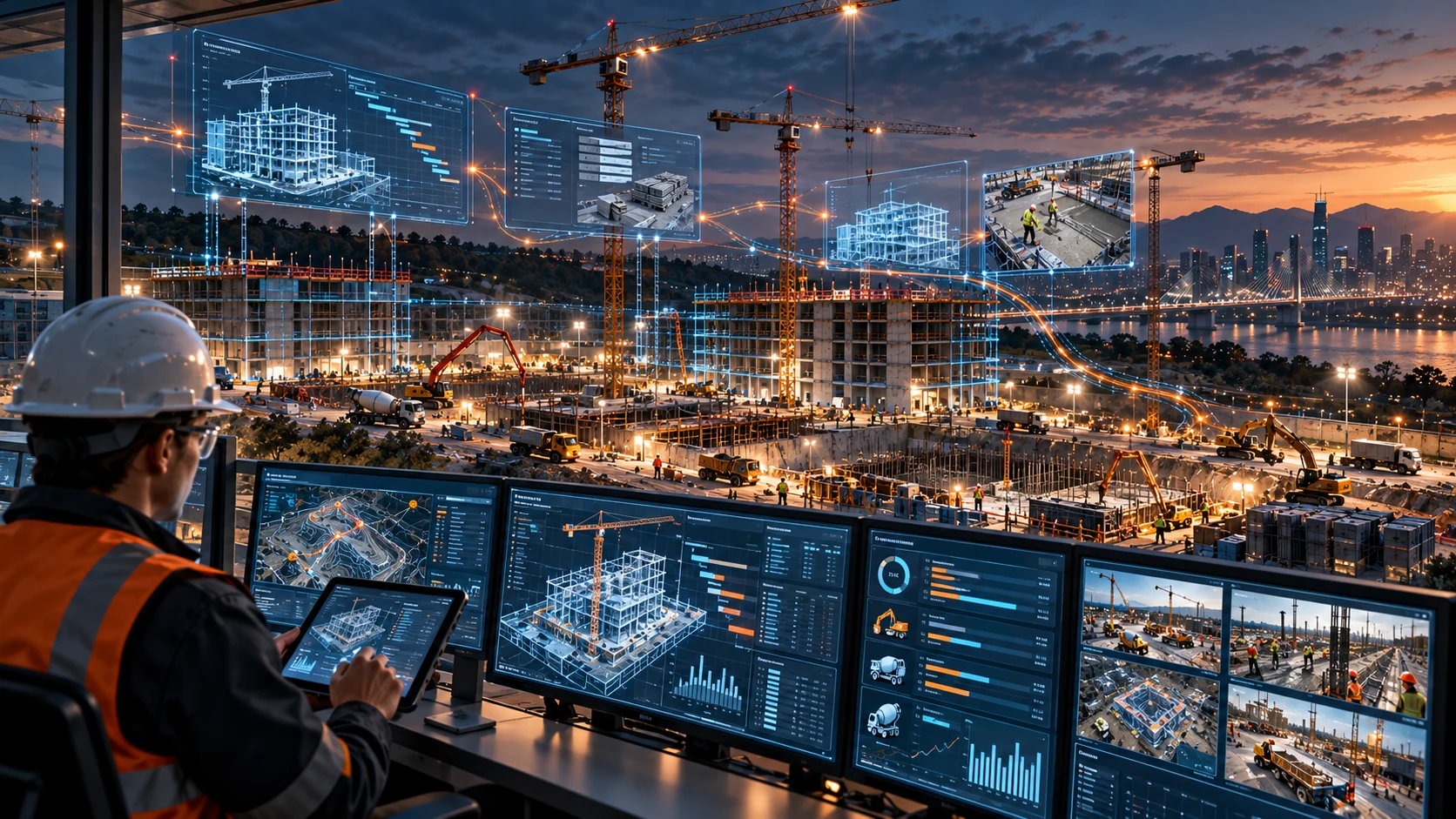
Connect programme, field operations, cost, procurement, quality and safety.
Explore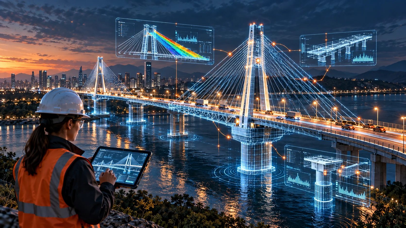
Carry structured asset information beyond handover into operations.
Explore
Design suitable packages for manufacture, preassembly and rapid installation.
Explore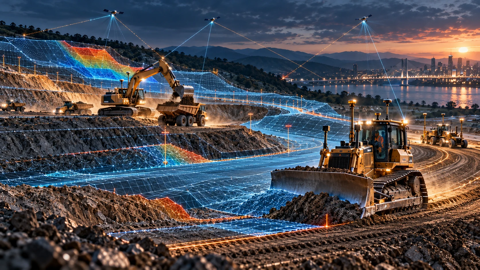
Connect terrain models, machine guidance and verified as-built surfaces.
ExploreAnswers
Practical answers about how Big Three Engineering connects digital engineering with physical delivery.
Examples include drone surveys, site photography, 360° capture, LiDAR, point clouds, photogrammetry, survey data, as-built measurements, inspections and test results.
The aim is to connect evidence to location, time, design intent, inspection status and the relevant work or asset, rather than store images as isolated records.
Yes. Observed conditions are compared with planned progress and engineering information to strengthen progress reporting and decision-making.
Reality capture gives inspection teams location-specific visual, survey and dimensional evidence that strengthens verification, traceability and acceptance records.
Bring B3 Nexus and advanced engineering methods into your next project.