
Survey & terrain
Connect site boundaries, survey control, terrain models and existing levels.
B3 Nexus · Site Intelligence
Nexus Site & Context Intelligence is designed to bring together survey, terrain, existing infrastructure, utilities, hydrology, geotechnical information, access, logistics and environmental constraints before major engineering decisions are locked in.
Quick answer
The value is not a prettier map. Better site intelligence should influence earthworks, foundations, drainage, roads, site logistics, construction sequencing, infrastructure placement and environmental protection.
Big Three innovation model
Every infrastructure project begins with physical context. When terrain, utilities, drainage paths, ground conditions, existing structures and access constraints are considered separately, coordination risk enters the project early. Nexus creates a unified site representation.
The objective is to connect geospatial and engineering information so that design and construction choices are tested against the actual conditions of the site rather than isolated drawings or assumptions.
Connected capabilities
Each capability strengthens engineering decisions, construction execution, evidence and lifecycle value across the project lifecycle.
Connect site boundaries, survey control, terrain models and existing levels.
Represent roads, services, structures and existing infrastructure that affect design and sequencing.
Use catchments, drainage paths and water constraints to inform platforms, roads and stormwater strategy.
Bring available geotechnical information into earthworks, foundation and ground-engineering decisions.
Represent land use, climate, environmental constraints and sensitive areas within the engineering context.
Understand haul routes, site access, laydown, crane zones, temporary works and construction movement.
Explore the digital thread
Follow the connection from site understanding through digital engineering, physical execution, verification and the living asset.

Connect site, design, engineering, construction, evidence and operations.
Explore
Coordinate multidisciplinary models and test options before construction.
Explore
Connect programme, field operations, cost, procurement, quality and safety.
Explore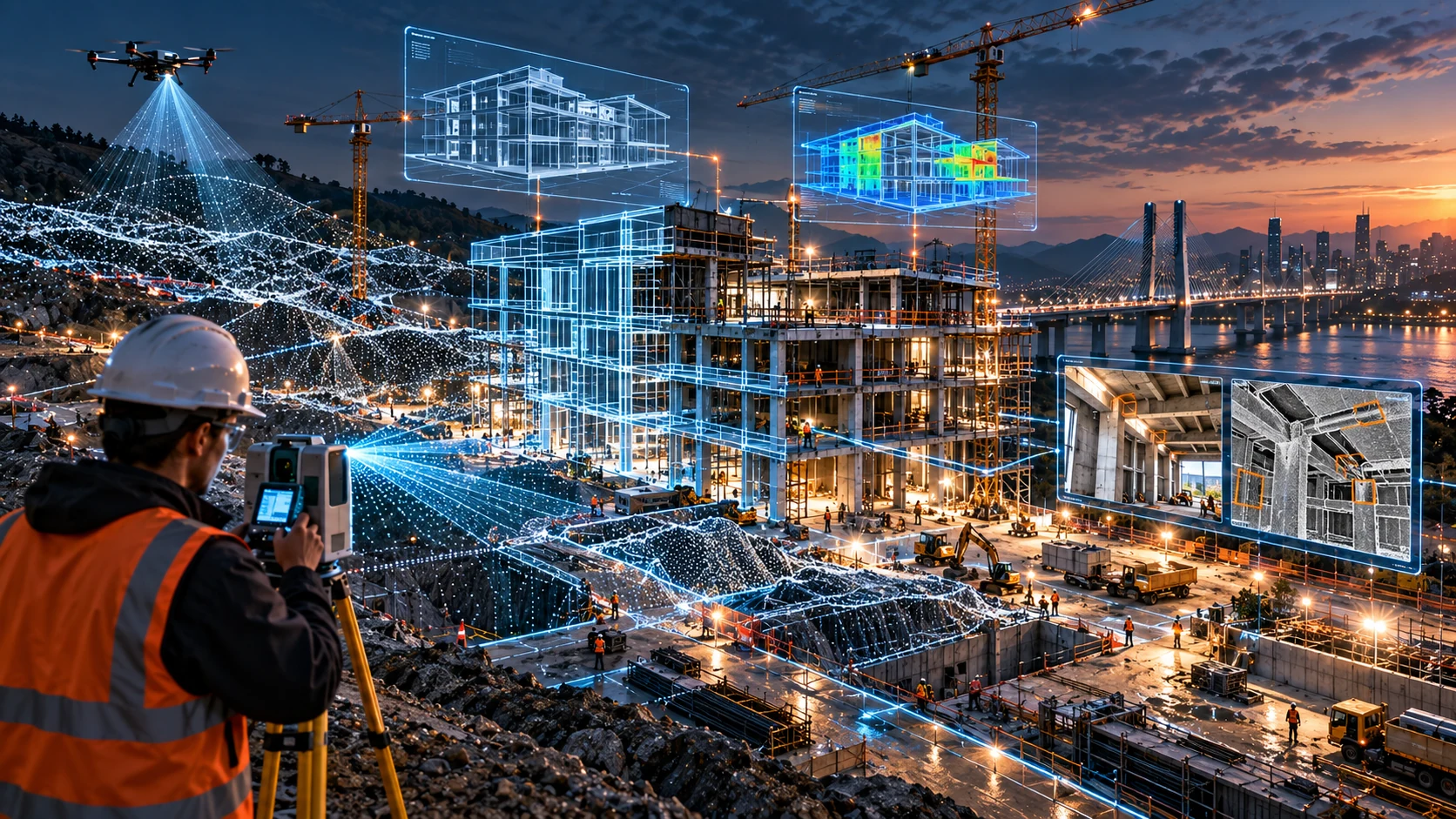
Compare design intent with observed, inspected and accepted work.
Explore
Carry structured asset information beyond handover into operations.
Explore
Design suitable packages for manufacture, preassembly and rapid installation.
Explore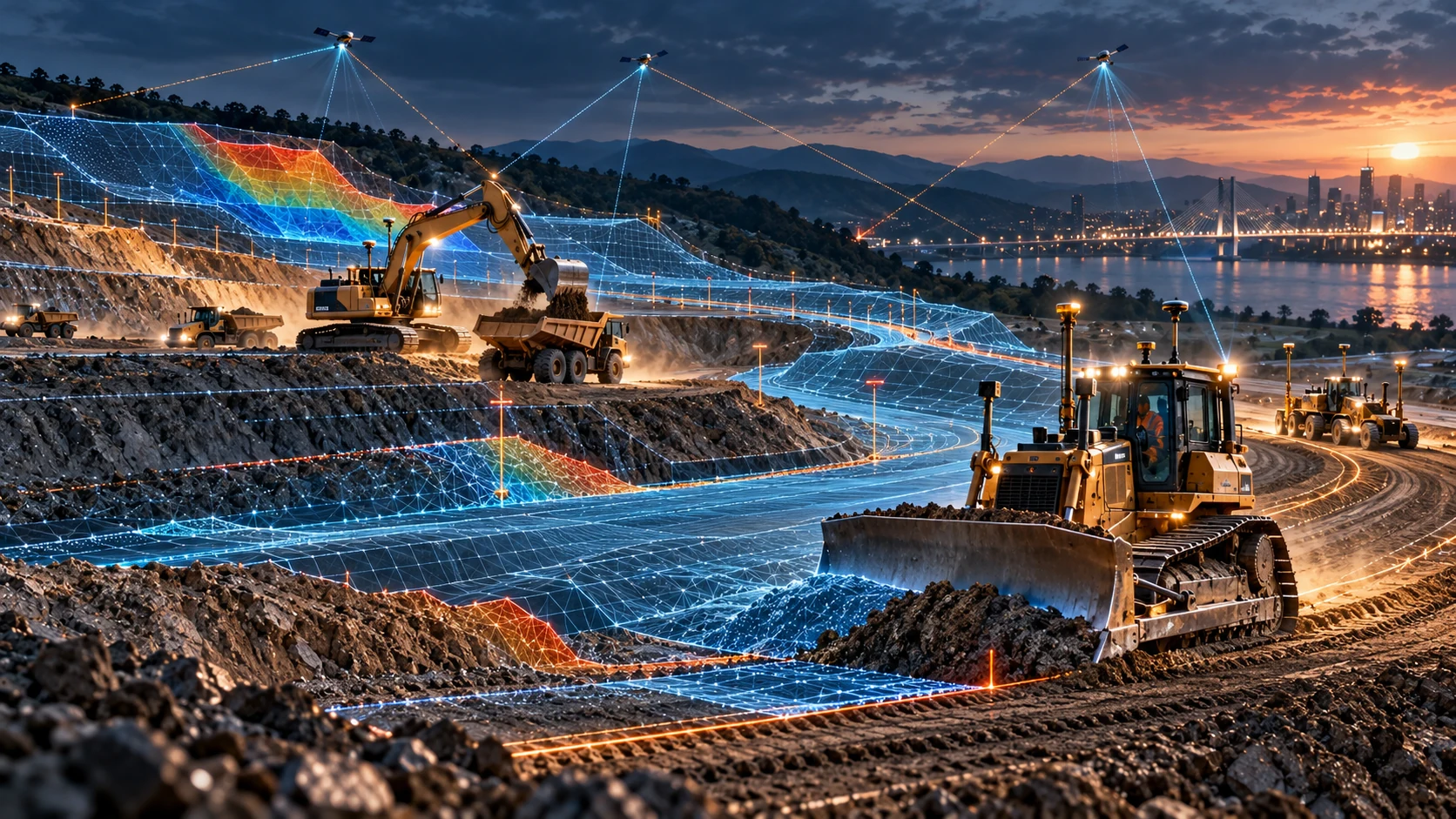
Connect terrain models, machine guidance and verified as-built surfaces.
ExploreAnswers
Practical answers about how Big Three Engineering connects digital engineering with physical delivery.
The site-intelligence model combines boundaries, survey, terrain, utilities, roads, land use, environmental constraints, hydrology, geotechnical information, earth observation, planning, access and existing structures.
It can inform earthworks strategy, drainage, road alignment, foundation strategy, infrastructure placement and construction sequencing.
It gives survey, geotechnical and engineering teams a shared evidence base connecting terrain, control, ground conditions, utilities, hydrology and project constraints.
Drone survey, LiDAR and photogrammetry add high-resolution terrain and reality data to site understanding, design coordination and later verification.
Bring B3 Nexus and advanced engineering methods into your next project.